
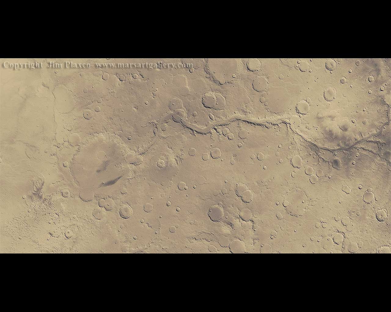
Along Ma'adim Vallis to Gusev Crater
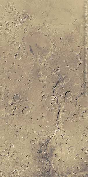
Image Title: Along Ma'adim Vallis to Gusev Crater
Release Date: February 28, 2006
Source: Mars Global Surveyor
Description
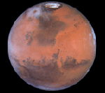
Excluding Earth craters, Mars' Gusev Crater is the largest most explored crater in the solar system. The Mars Exploration Rover Spirit landed in Gusev Crater on January 4 2004 - two years ago and has been investigating its geology ever since.
Gusev Crater was chosen as a target for the Mars Exploration Rover mission because of its relationship with Ma'adim Vallis. Gusev Crater, 160 kilometers in diameter, is estimated to be between 3.5 and 4 billion years old. This places it in the Noachian period. Draining into the crater is the 900 kilometer long Ma'adim Vallis. It is believed that this valley was carved by flood waters. Based on elevation data, it is obvious that these waters would have emptied and pooled in Gusev Crater, making it a potential crater lake. A crater lake is a likely environment for the development of life. The quest to understand the role of water in Mars' past and the search for evidence of past life have been high priorities in our Mars exploration program.
Another interesting feature not readily apparent in this image is that Gusev lies on the boundary of Mars' crustal dichotomy. The nature of this dichotomy is captured in Figure 1 below. Figure 1 is a pseudo-color image of Mars with the colors corresponding to altitude. The altitude-color relationship is seen in the table at the left side of the image.
The surface of Mars can broadly be characterized as being of one of two types. One part of Mars consists of relatively heavily cratered highlands - terrain that lies above the martian "sea level". Figure 1, which contains a small portion of Terra Cimmeria, falls into this category. The second surface type is relatively lightly cratered plains that are below the martian "sea level". Figure 1 shows part of Elysium Planitia, which belongs to this latter category. As you can see, Gusev Crater lies right on the boundary between these two very different types of terrain.
Figure 1. A Digital Elevation Model of Gusev Crater Ma'adim Vallis and the surrounding area.
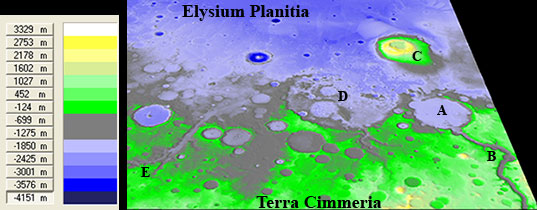
Features Identified in Figure 1:
A - Gusev Crater
B - Ma'adim Vallis
C - Apollinaris Patera
D - de Vaucouleurs Crater
E - Al-Qahira Vallis
Source Image Background
The image shown was created using Mars Global Surveyor Wide Angle red-images that had been assembled to produce a global mosaic of Mars, by quadrangle, as a part of the Mars Geodesy Campaign.
Image Processing
Adobe Photoshop was used to clean, enhance, and apply false colors to this image. Cleaning primarily involved the removal of individual image seams using a variety of airbrush tools. A number of enhancements were applied to the image to increase realism. False colors were applied using a palette of martian colors in conjunction with the albedo data contained in the image.
Downloads
I have created a very low resolution, compressed version of "Along Ma'adim Vallis to Gusev Crater" for use as a desktop wallpaper. This wallpaper is made available for your personal use only. It is not to be modified or redistributed in any form by any means. All rights are retained by the artist.
Along Ma'adim Vallis to Gusev Crater, 1280 X 1024 Wallpaper Image by Jim Plaxco