
Polar Trough Layers
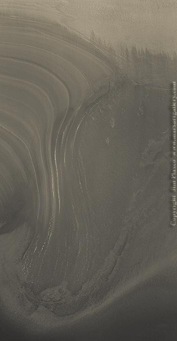
Image Title: Polar Trough Layers
Release Date: December 4, 2005
Source: Mars Global Surveyor
Description
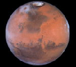
Mars is a cornucopia of geological mysteries. One of these mysteries is the precise conditions under which the layered terrain of the martian poles was created. This polar layering was first observed by the Mariner 9 mission. The layers themselves are a combination of ice and dust with each layer representing a different layer creating event. The layers seen here are at the north pole of Mars.
Source Image Background
The source for this picture is a Mars Global Surveyor Narrow Angle Camera image acquired in November 2002. The location is along the edge of a trough at 85.4° north latitude, 182° west longitude. At the time it was very early summer in the north hemisphere of Mars. The resolution of the original image was about 1.4 meters per pixel.
Image Processing
All processing of this false color image was done using Adobe Photoshop. Operations performed included MOC image destriping, contrast enhancement, and the application of color using a technique developed by the artist using a color palette representative of the native colors of Mars.
Downloads
I have created a low resolution, compressed version of "Polar Trough Layers" for use as a desktop wallpaper. This wallpaper is made available for your personal use only. It is not to be modified or redistributed in any form by any means. All rights are retained by the artist.
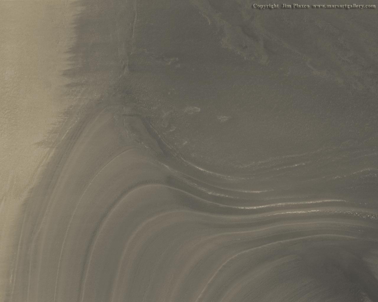
Polar Trough Layers, 1280 X 1024 Wallpaper Image by Jim Plaxco